Bring your geo-data to life
Transform complex GIS data into understandable, interactive maps. Collaborate on spatial plans with all stakeholders around one table.
Please accept cookies to play this video
Trusted by leading organizations
From municipalities to consultancy firms, our digital map table helps organizations visualize their spatial data and collaborate effectively.


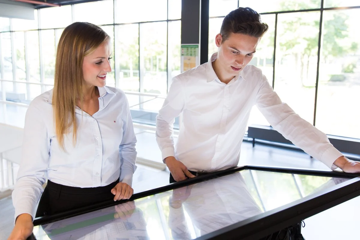
What is the Digital Map Table?
The Digital Map Table combines a large multi-touch screen with powerful mapping software. This transforms any discussion about GIS data or spatial plans into a visual and interactive conversation where everyone can participate.

Multi-touch Support
Multiple users can interact simultaneously with the map
Custom Interfaces
Tailored interfaces optimized for large touchscreens
High Performance
Smooth performance even with large datasets
Mobile & ready to go
TouchTable can be transported to your location. We deliver, set up and collect.
From workshops to trade fairs – the table goes where you need it. Our transport van brings the TouchTable safely to your event or project location.


Ready for transport
TouchTable Go fits in a carrying case and can be taken by car.
The compact TouchTable Go variant comes with a protective carrying case. Ideal for demos on location or smaller sessions.
TouchTable in action
From trade fairs to participation sessions, workshops to education – discover how TouchTable is used.

Participation at the table

Sustainability and energy transition

Collaboration around the table

Spatial planning

Interactive presentation

Workshop or brainstorming session
Applications
Discover how TouchTable is used in various sectors and projects.
Spatial Planning
Plan and design spatial projects together with all stakeholders.
- Urban development
- Infrastructure planning
- Participation sessions
GIS Analysis
Perform complex geographic analyses in an interactive environment.
- Data visualization
- Spatial analysis
- Spatial analyses
- Real-time updates
Presentations & Demos
Present projects and concepts in an interactive and engaging way.
- Project presentations
- Stakeholder sessions
- Interactive demos
Ready to bring your data to life?
Discover how TouchTable can transform your spatial projects and improve collaboration.


Frequently Asked Questions about TouchTable
Answers to frequently asked questions about TouchTable, the models, rental and applications.