Effortless data collection with high precision
Connect your GPS or surveying equipment, collect accurate data, and synchronize it directly with your map project.
Get a Demo
Reliable solution for surveying professionals
GeoApps Fieldwork supports surveying companies and engineering firms in accurate data collection in the field.


Why choose GeoApps Fieldwork?
Make your data collection easier with user-friendly and professional tools, specially designed for maximum precision and efficiency in the field. Also save time in the processing process.
Faster collection
Speed up your data collection with direct GPS integration and reduce manual entry and processing time.
Your data available online immediately
With Fieldwork, your collected data is stored online and made available immediately. Colleagues in the office and in the field can immediately view current data in GeoApps and respond to it directly.
Higher accuracy, better decisions
Data collected with high precision leads to reliable insights and better project results.
Intuitive interface, designed for use in the field
A robust and clear interface, specially developed for outdoor workers - even under challenging conditions.
Mobile data collection
Optimized for tablets and smartphones, so you can collect accurate data anytime, anywhere.
Real-time map integration
Live visualization and mapping of your data, immediately available and always up-to-date.
Advanced data management
Extensive options for organizing, validating, and analyzing your collected data.
Professional field data collection
Capture accurate geodata with structured, user-friendly input forms that prevent errors during fieldwork. Collect point data, lines, and polygons with high GPS precision. Your data is stored directly in your GeoApps project and is immediately available for real-time collaboration and updates within your team.
Compatible with professional GPS equipment
Fieldwork offers seamless integration with professional surveying equipment and GPS devices for maximum precision.
Marxact GNSS receivers
High accuracy RTK-GPS with GeoApps integration.
Sokkia equipment
Advanced surveying solutions for GIS professionals.
Topcon SR receivers
High-precision GNSS receivers for accurate positioning.
Topcon GT total stations
Integrate measurements directly into fieldwork forms.
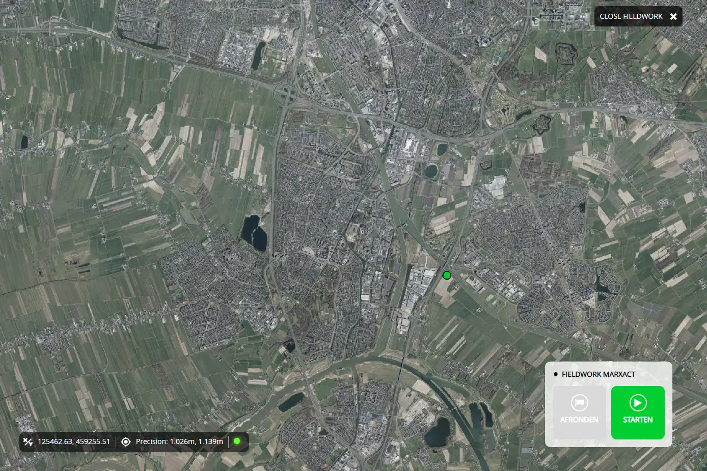
Fieldwork in action
Discover how GeoApps Fieldwork streamlines data collection in practice. This mobile GIS solution offers high accuracy and maximum efficiency for fieldworkers and survey teams.
- High precision GPS collection
- Offline capabilities
- Real-time synchronization
- Secure data processing
Please accept cookies to play this video
Powerful features for professional fieldwork
Everything you need for accurate data collection and geodata management in one complete platform. Ideal for, for example, green inventories, soil research, asset mapping, and basic GIS collection.
Precise GPS location
Work with sub-meter accuracy for reliable data collection and mapping.
Offline mode
Collect data without a connection and synchronize automatically as soon as you are online again.
Secure cloud storage
Store and manage your geodata securely in the cloud, with the highest level of security used by large organizations.
Reliable & scalable
Designed for large-scale field operations; proven reliability in demanding environments.
What our customers say
Discover why organizations trust GeoApps for their spatial challenges.

Roelofs Lemelerveld
"The real-time map saves us many unnecessary kilometers in combating the oak processionary caterpillar."
Robbert Alferink, Planner
Ready to modernize your fieldwork?
Join hundreds of professionals who are already using GeoApps Fieldwork for more efficient and accurate data collection.


Fieldwork FAQ
Frequently asked questions about GeoApps Fieldwork for mobile data collection and GPS integration.