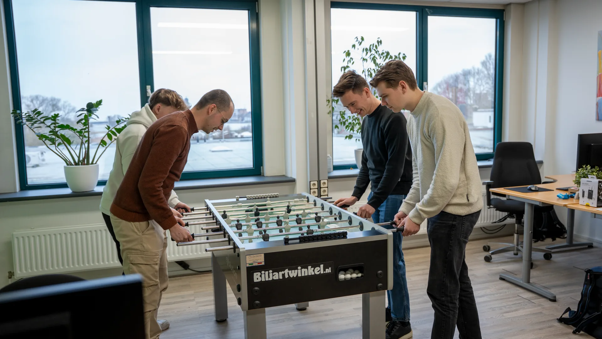
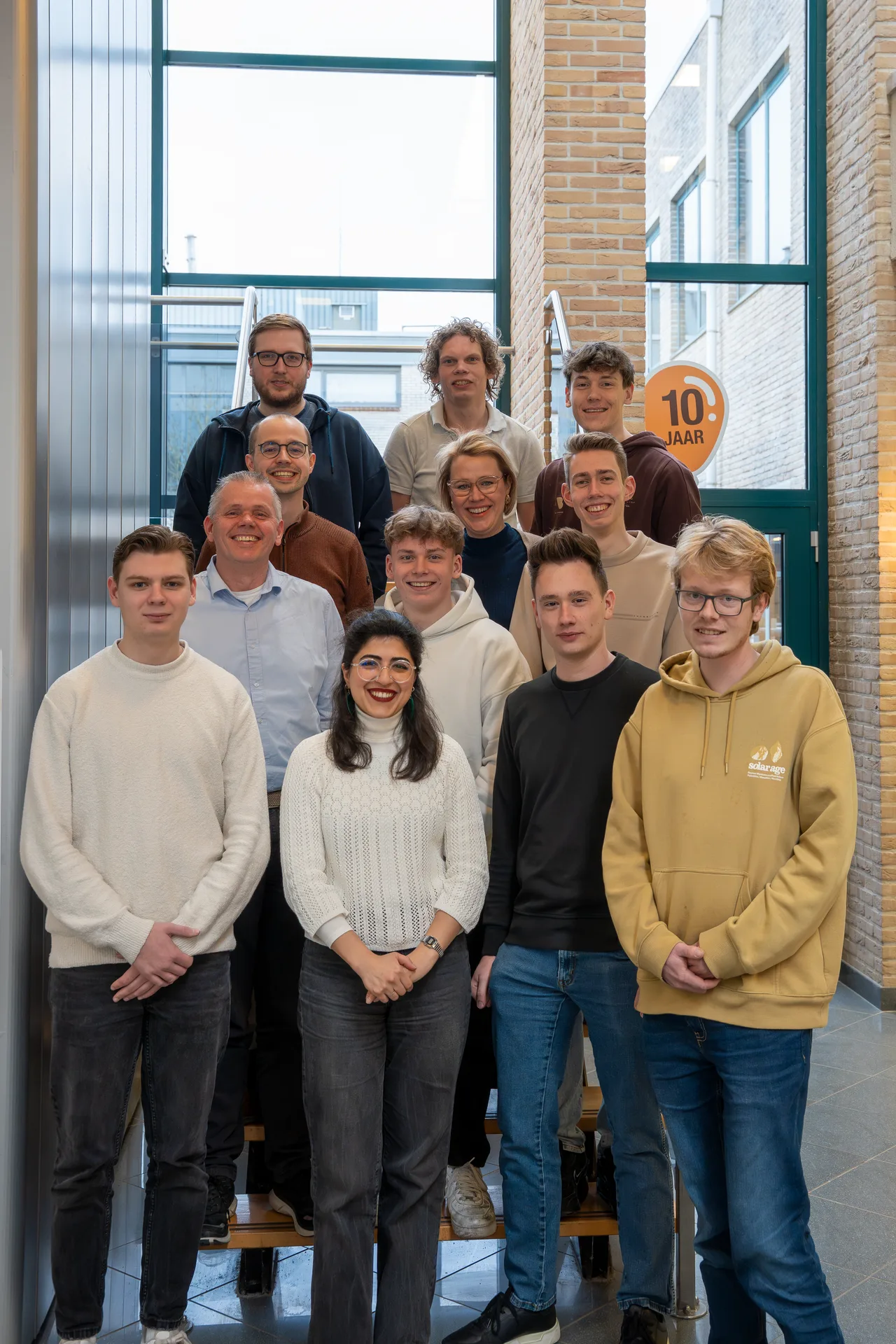
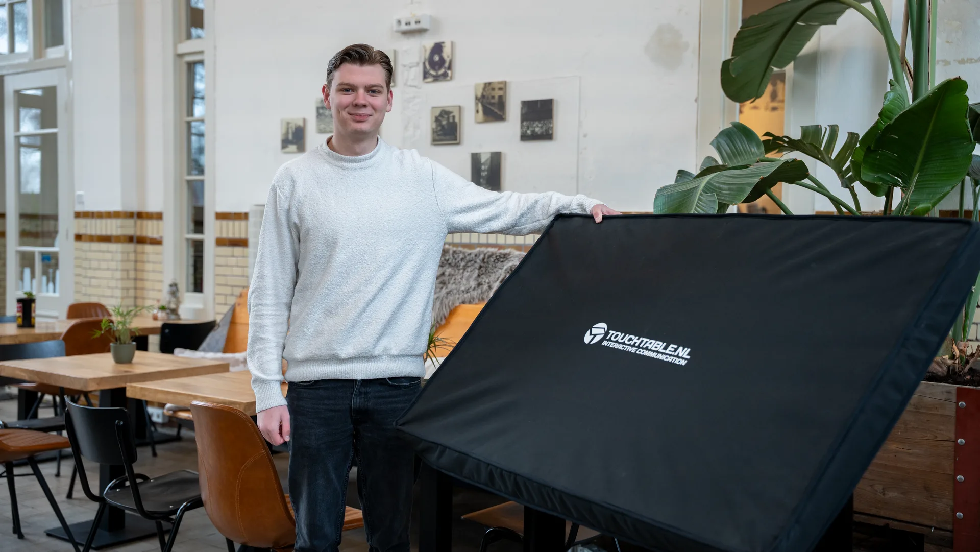
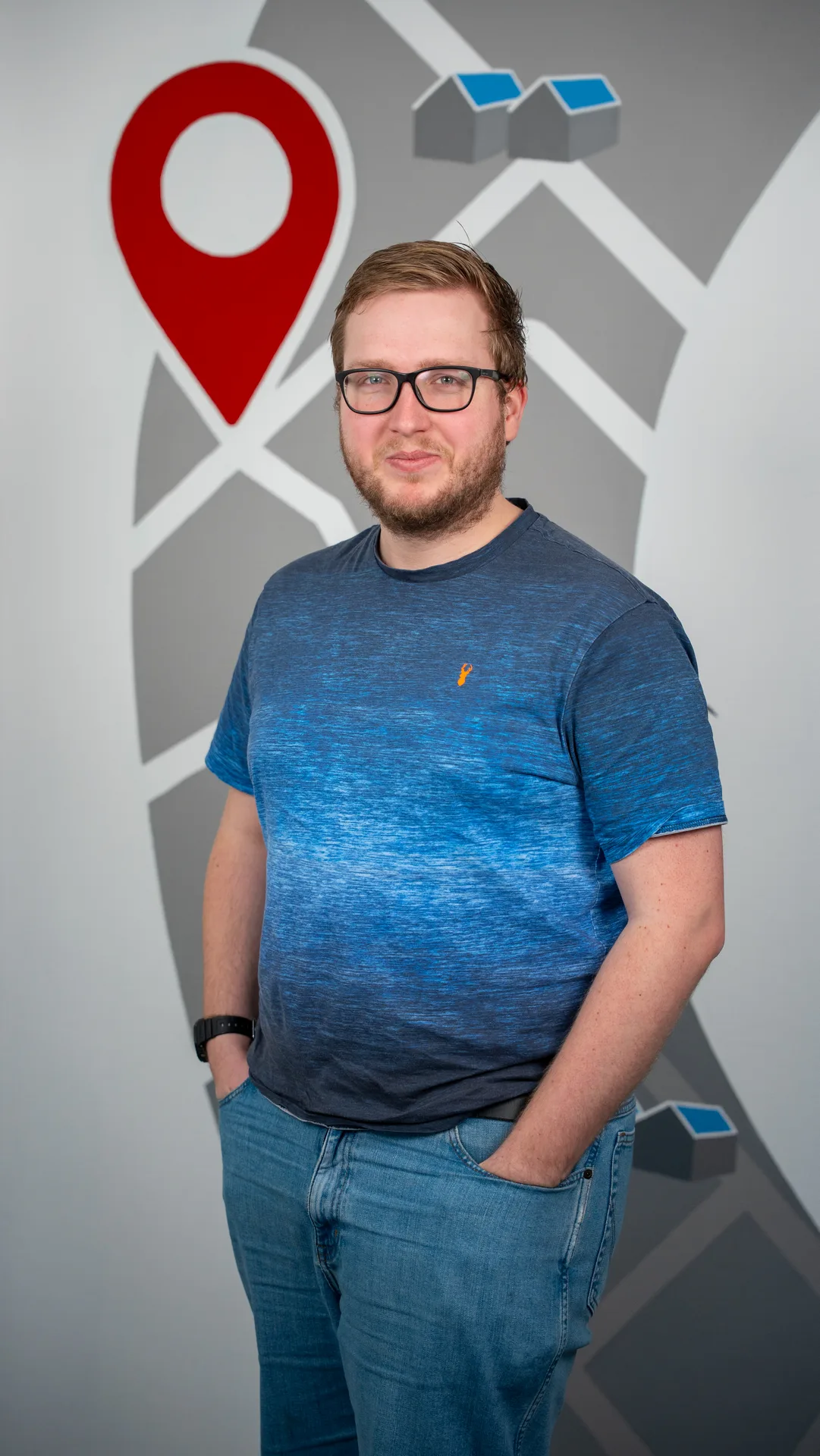
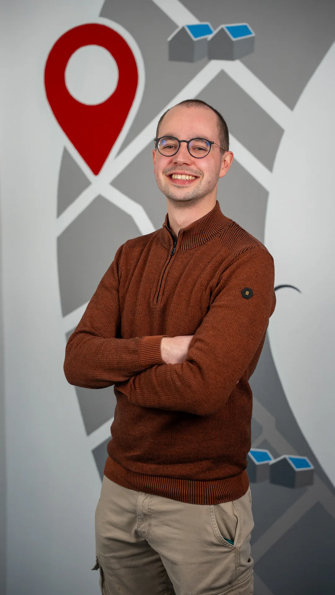
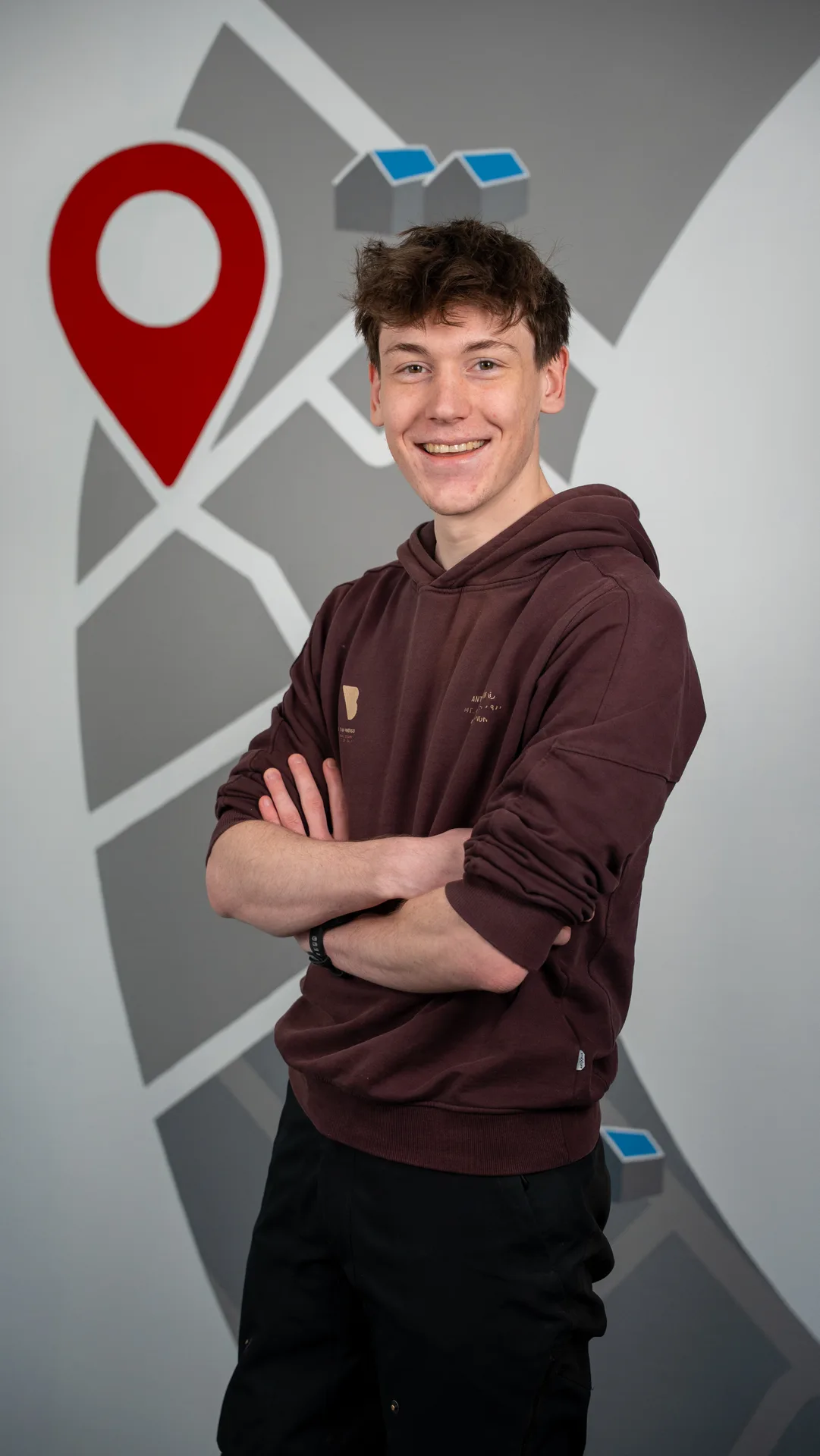
More colleagues and partners
help us build GeoApps
Learn who we are, what we stand for, and how we help organizations with powerful geospatial solutions. GeoApps is part of MapGear, the company behind GeoApps, TouchTable, Duurzaamheidskaart and MapTalk.
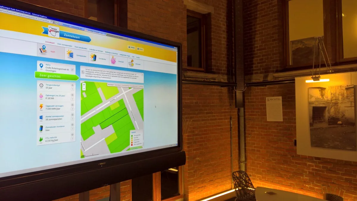
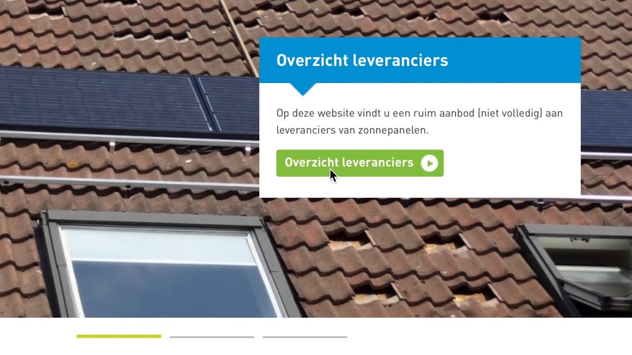
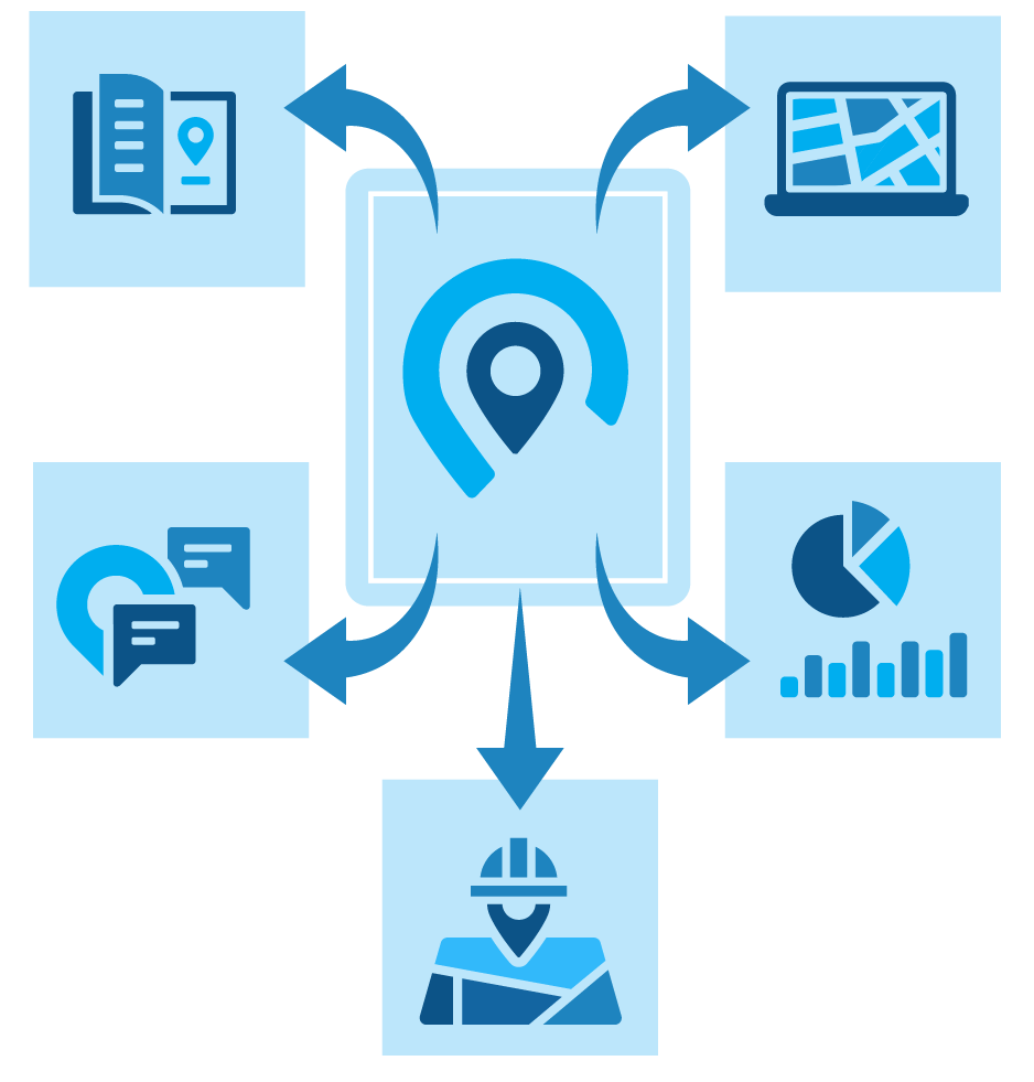
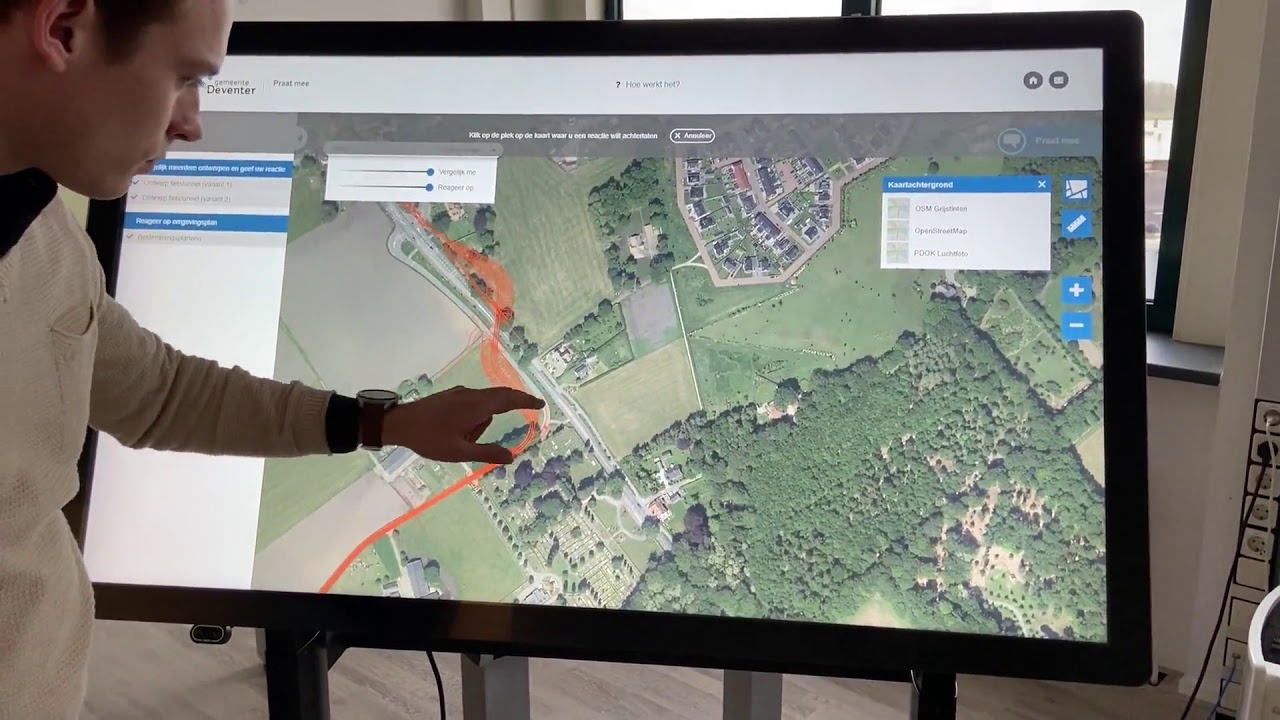
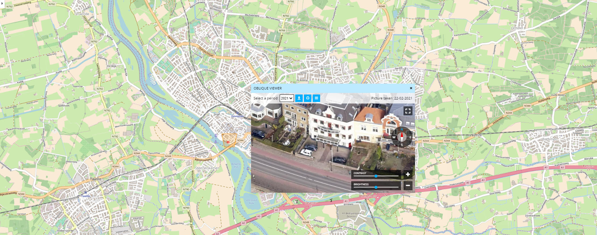
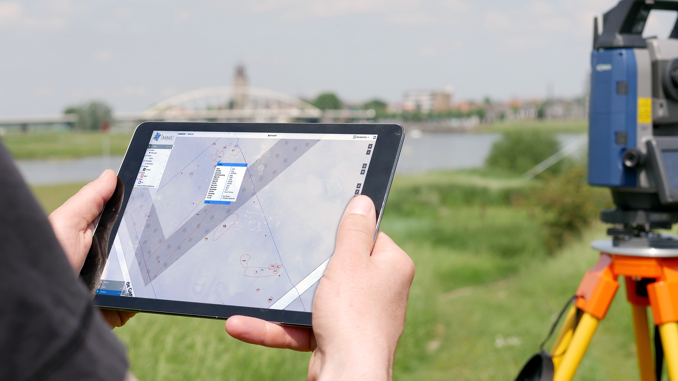
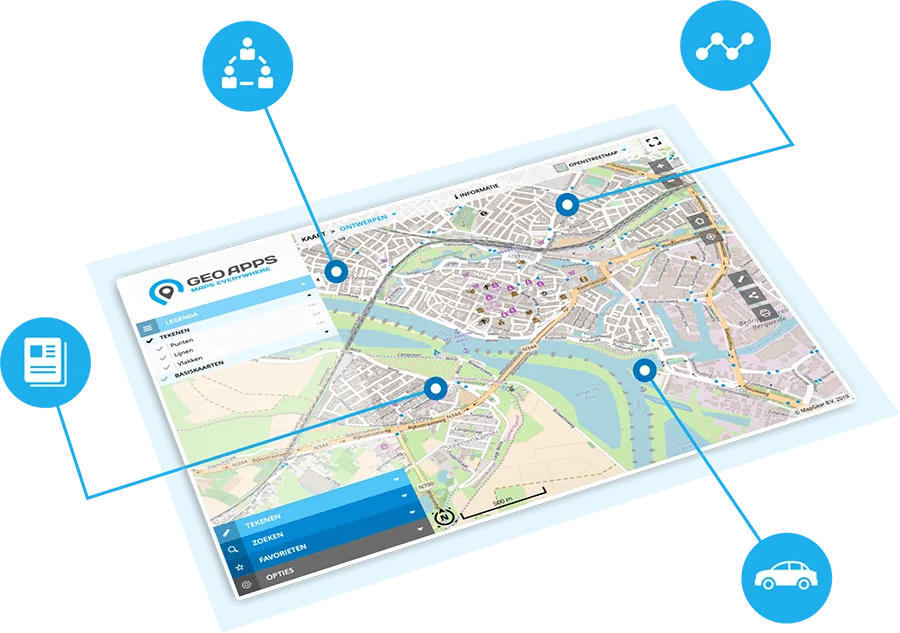
From map viewers to participation and dashboards – discover the Geo-ICT solutions we use to help organizations.
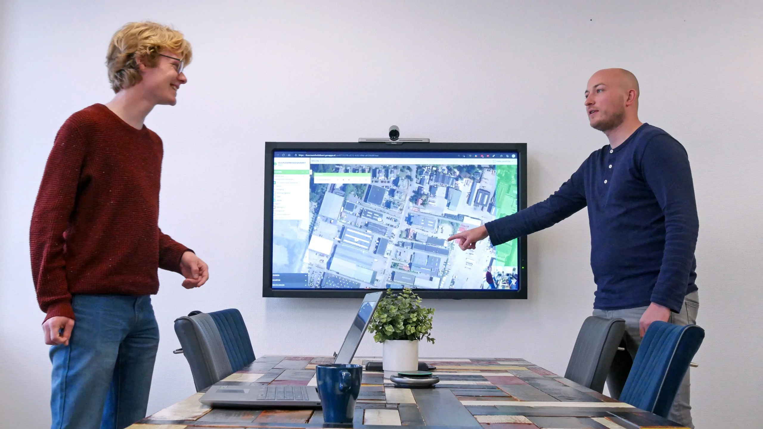
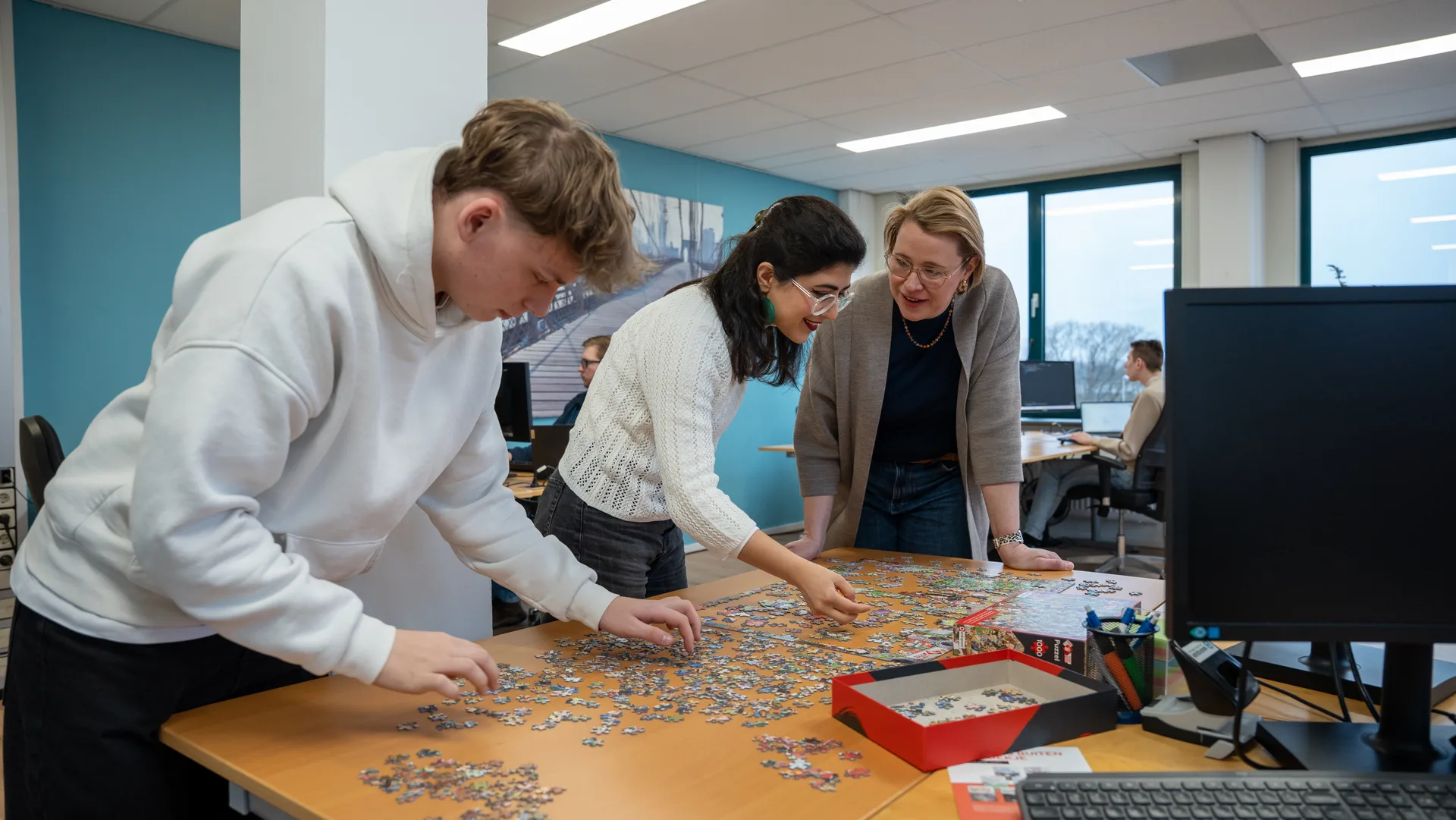
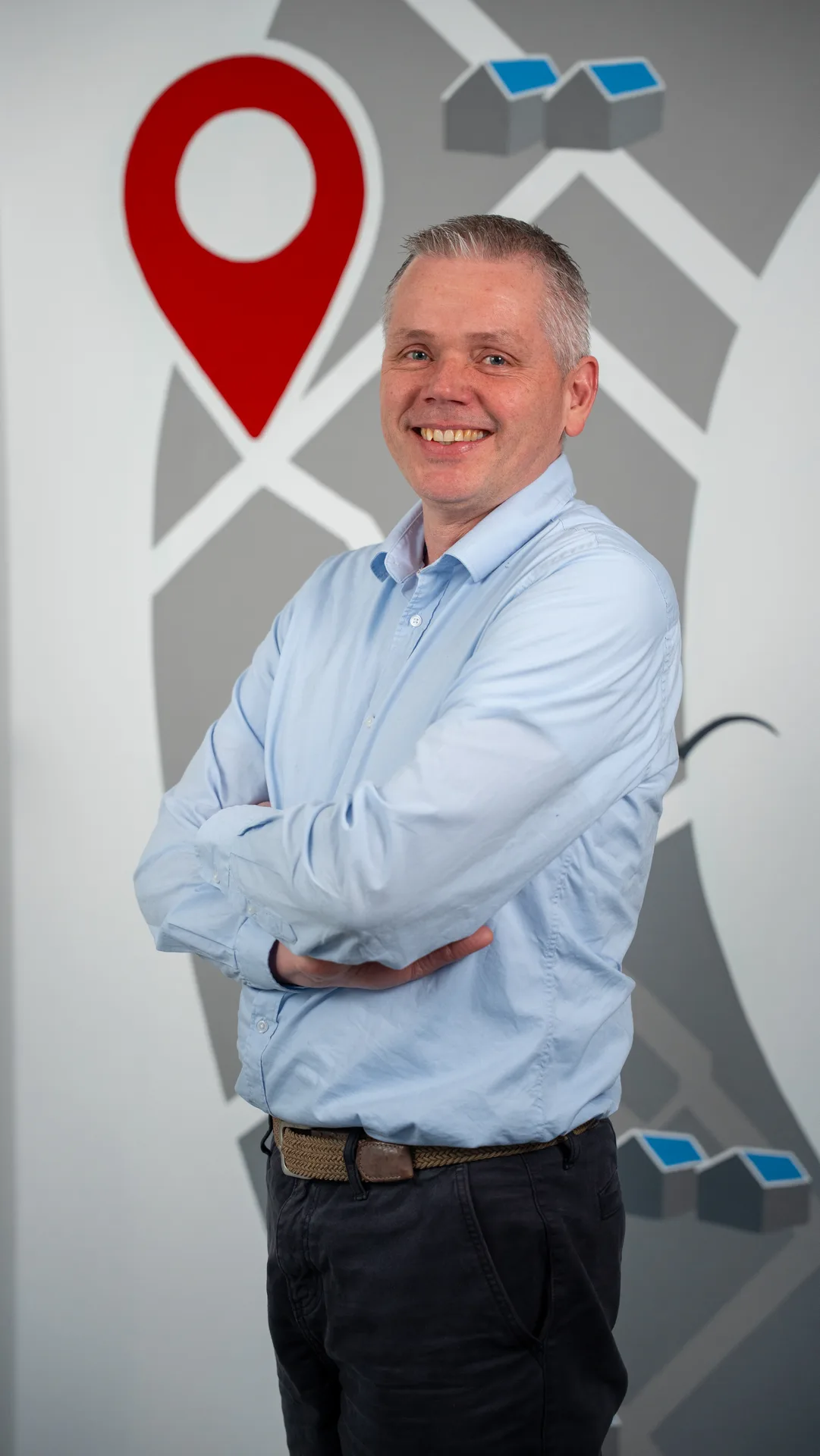
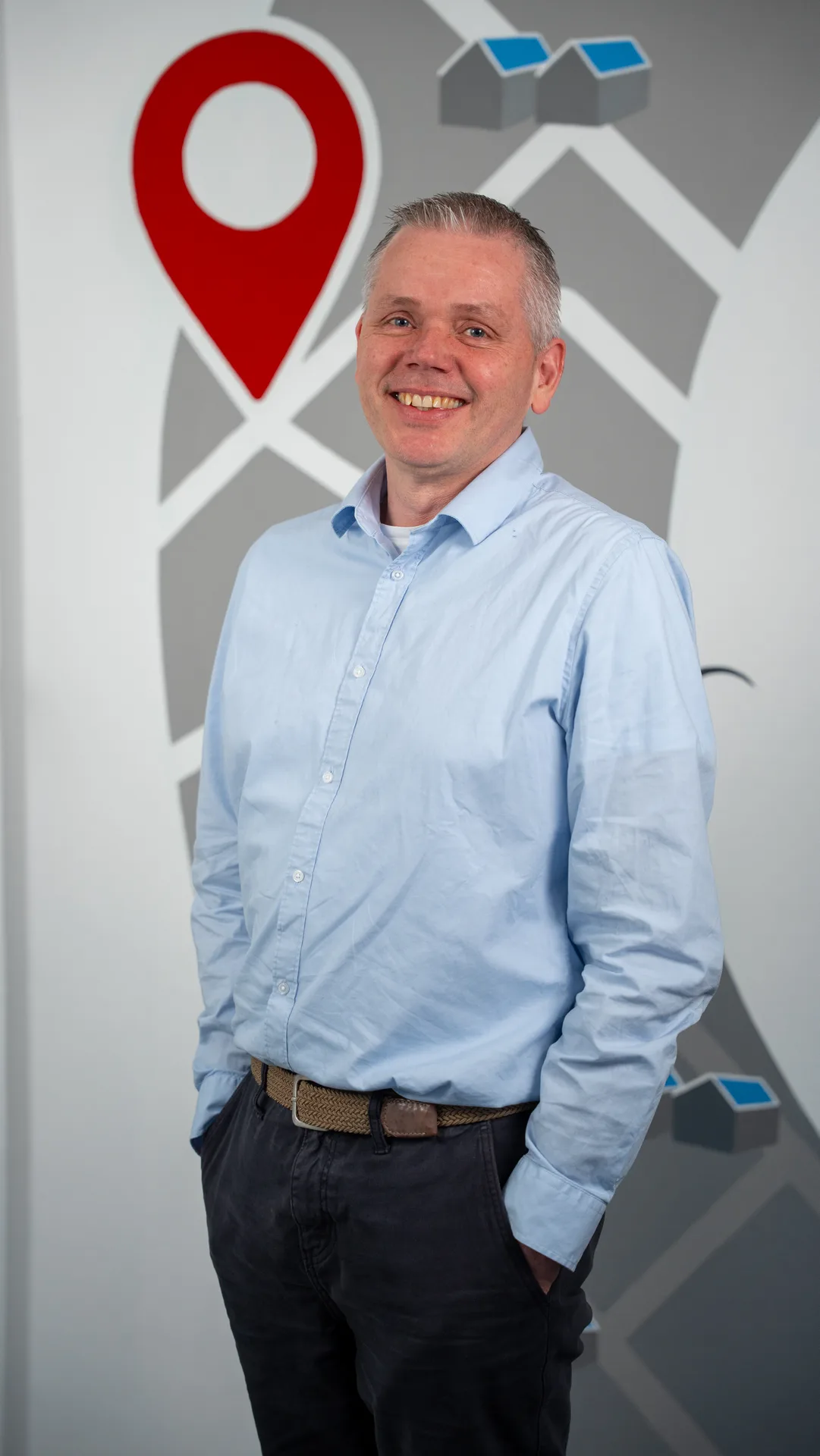
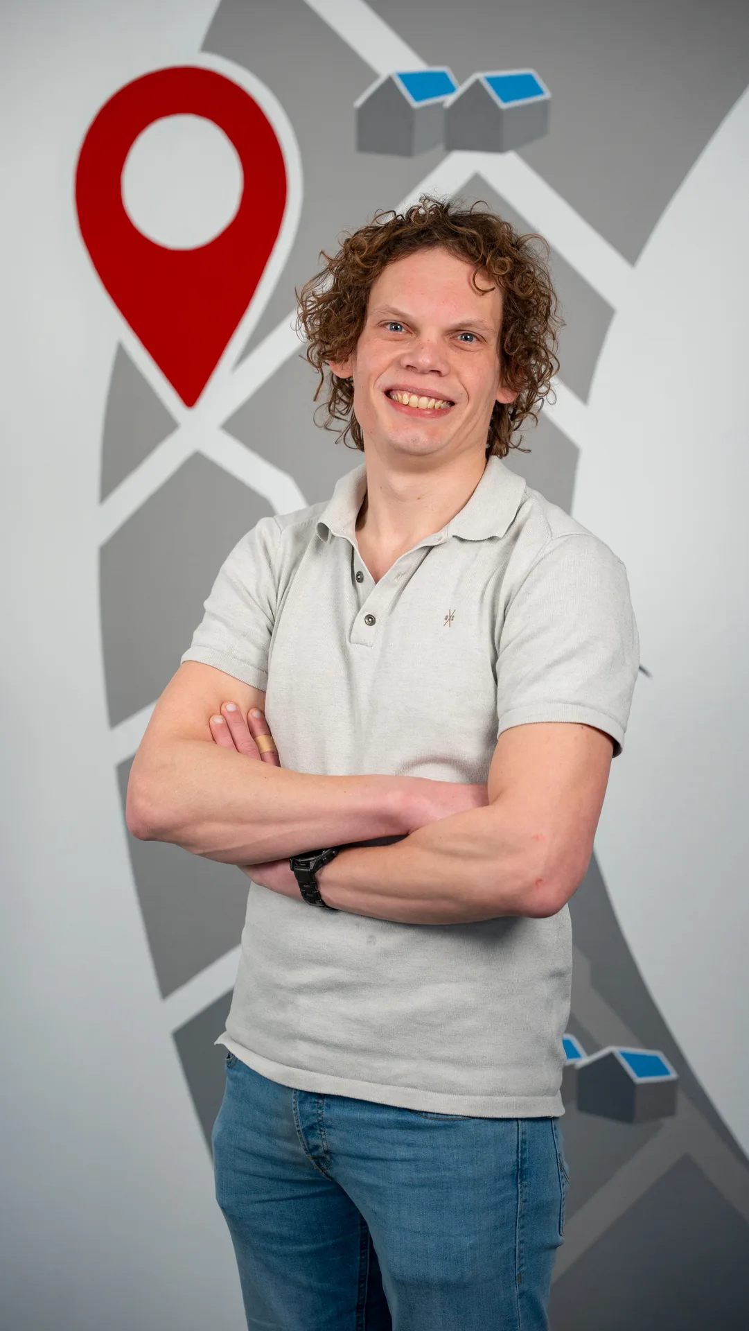
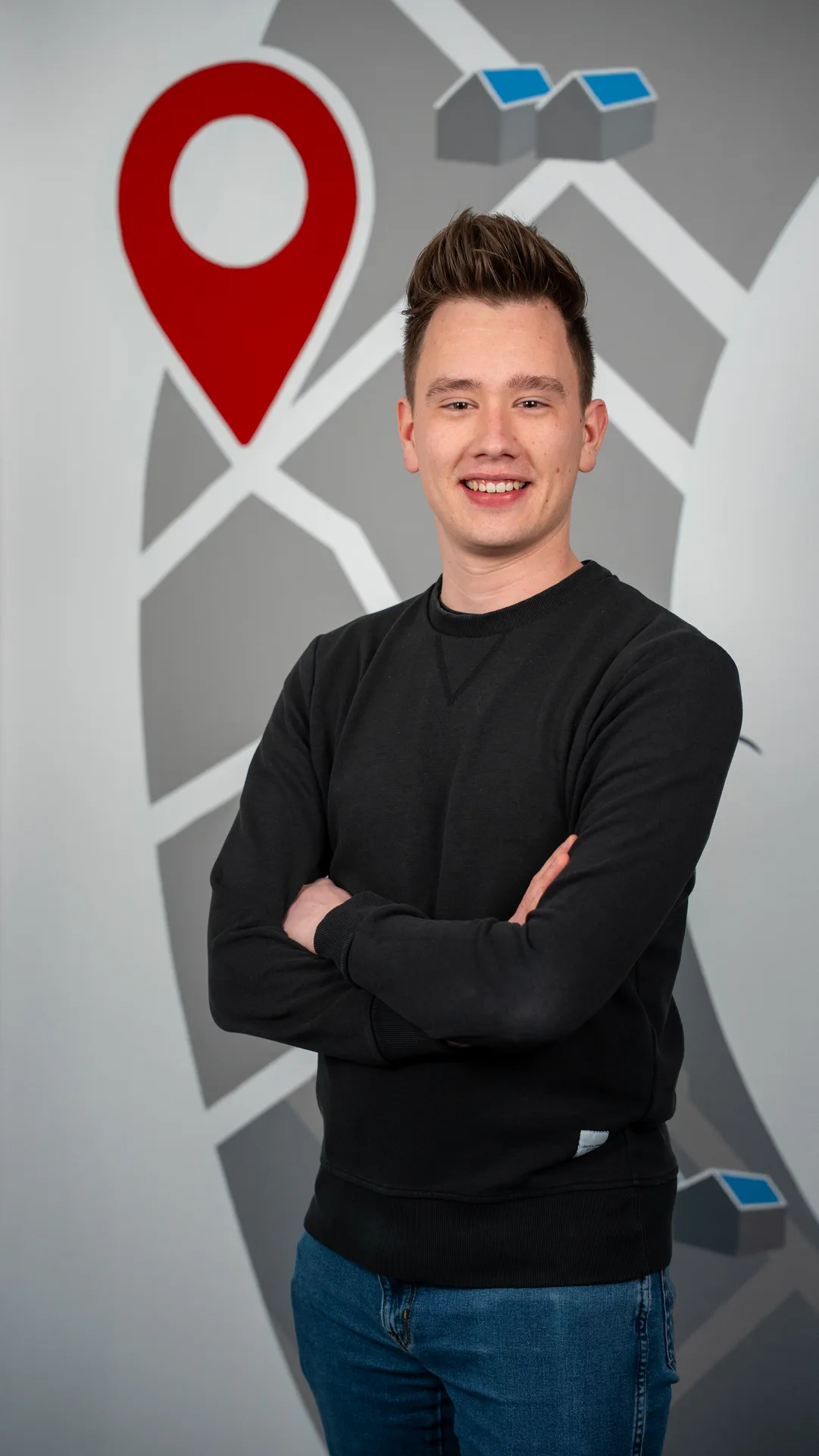
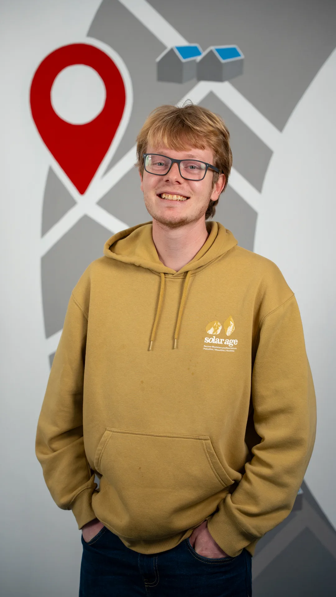
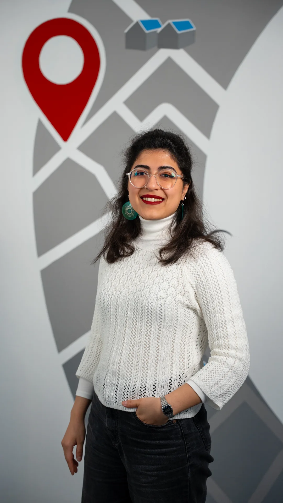
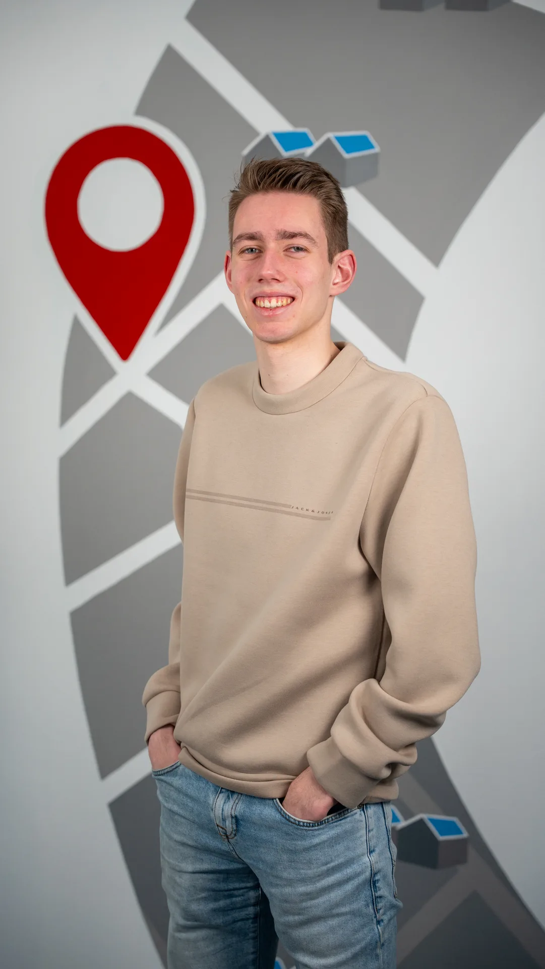
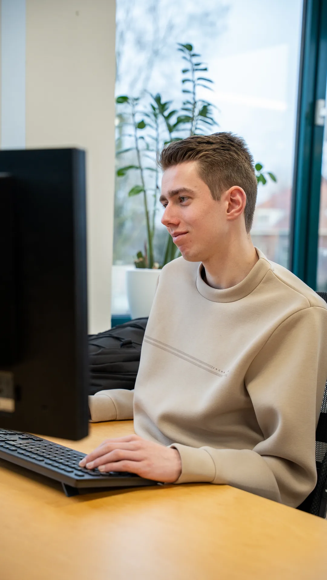
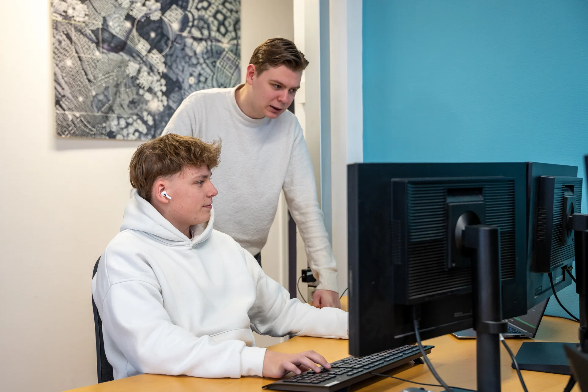
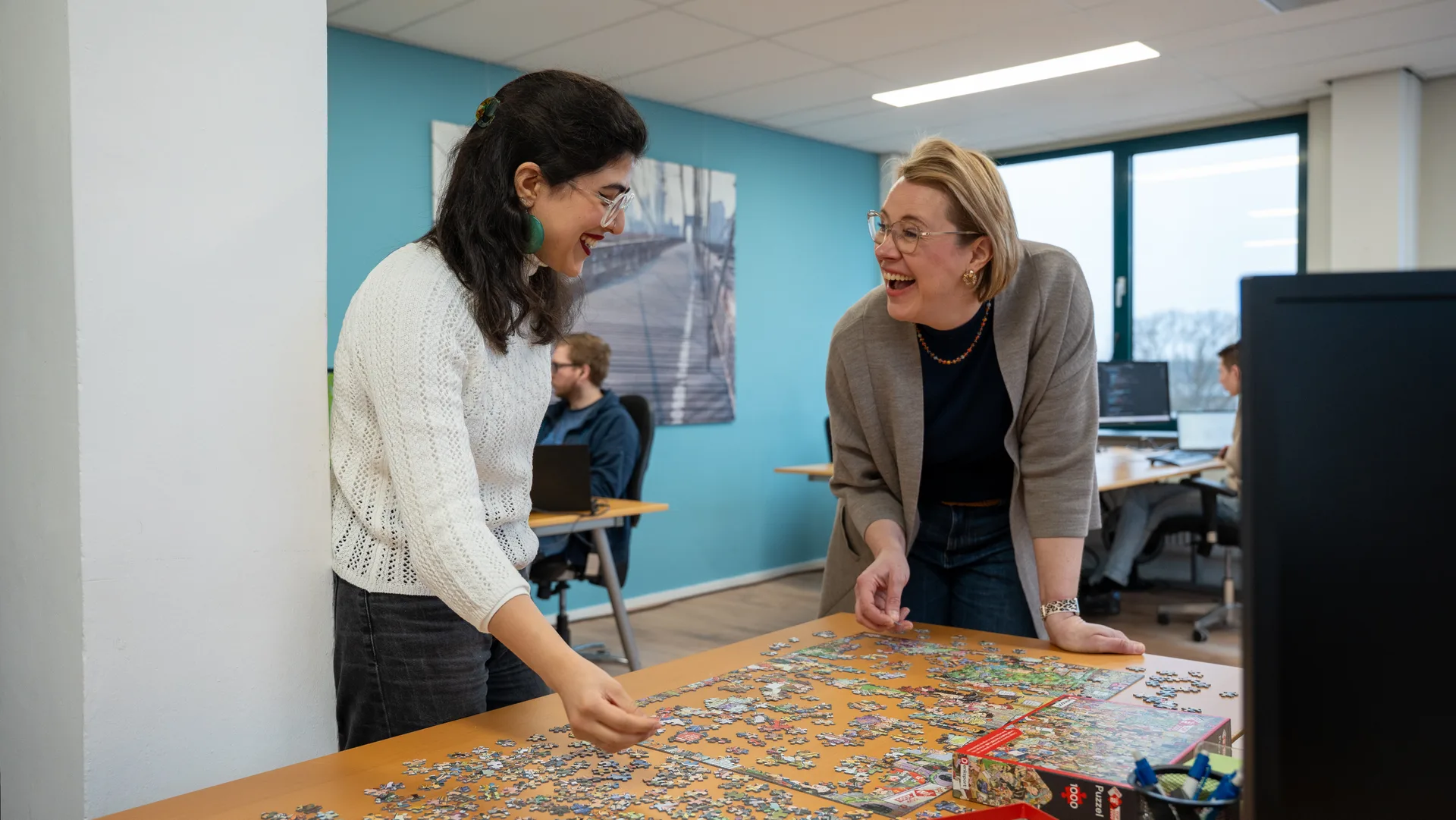
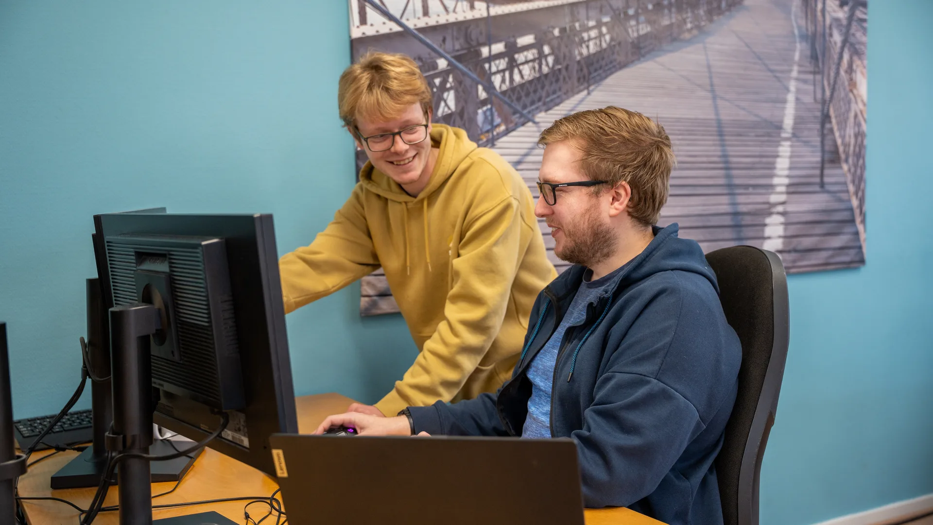
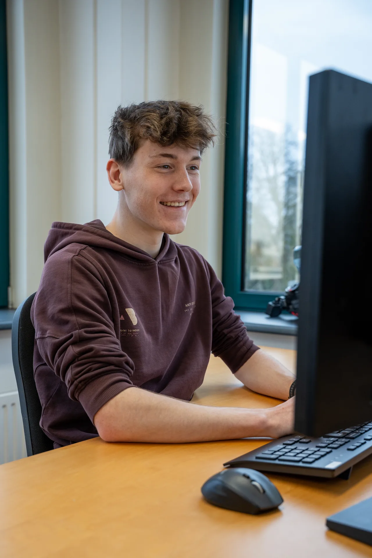
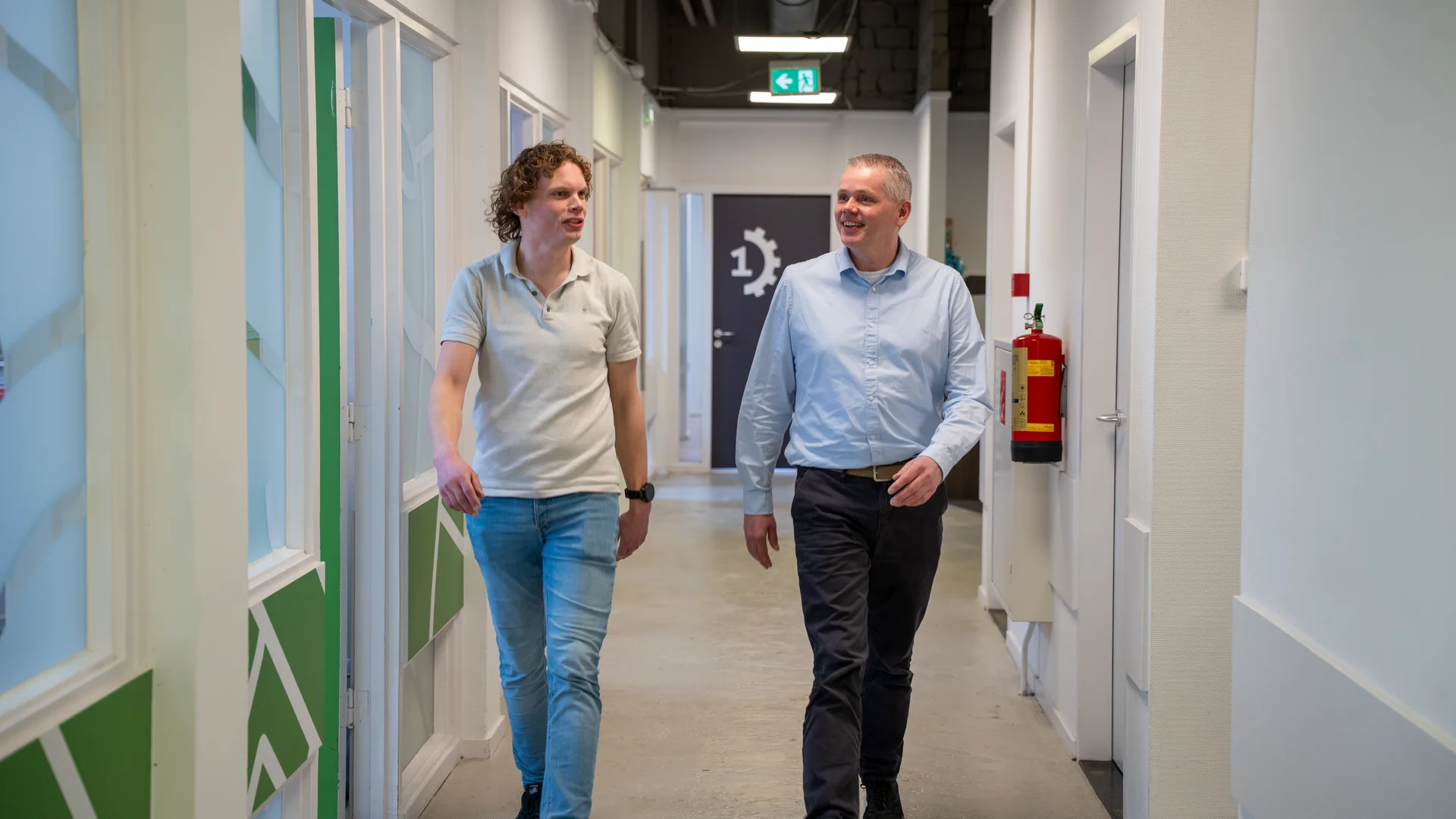
Meet the people behind GeoApps, driven professionals with a passion for geospatial technology, software development, and helping customers succeed.


help us build GeoApps
View open positions
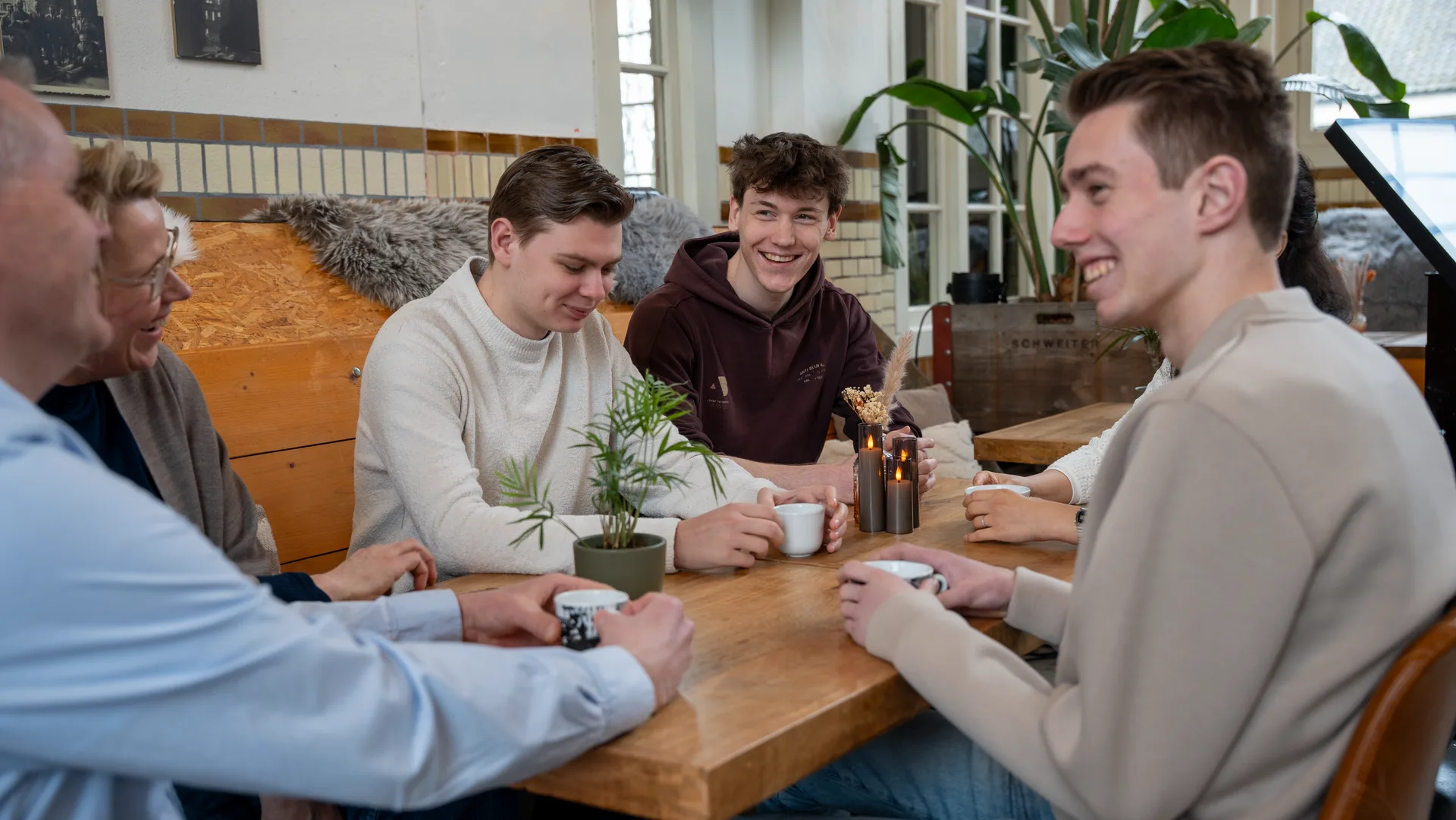
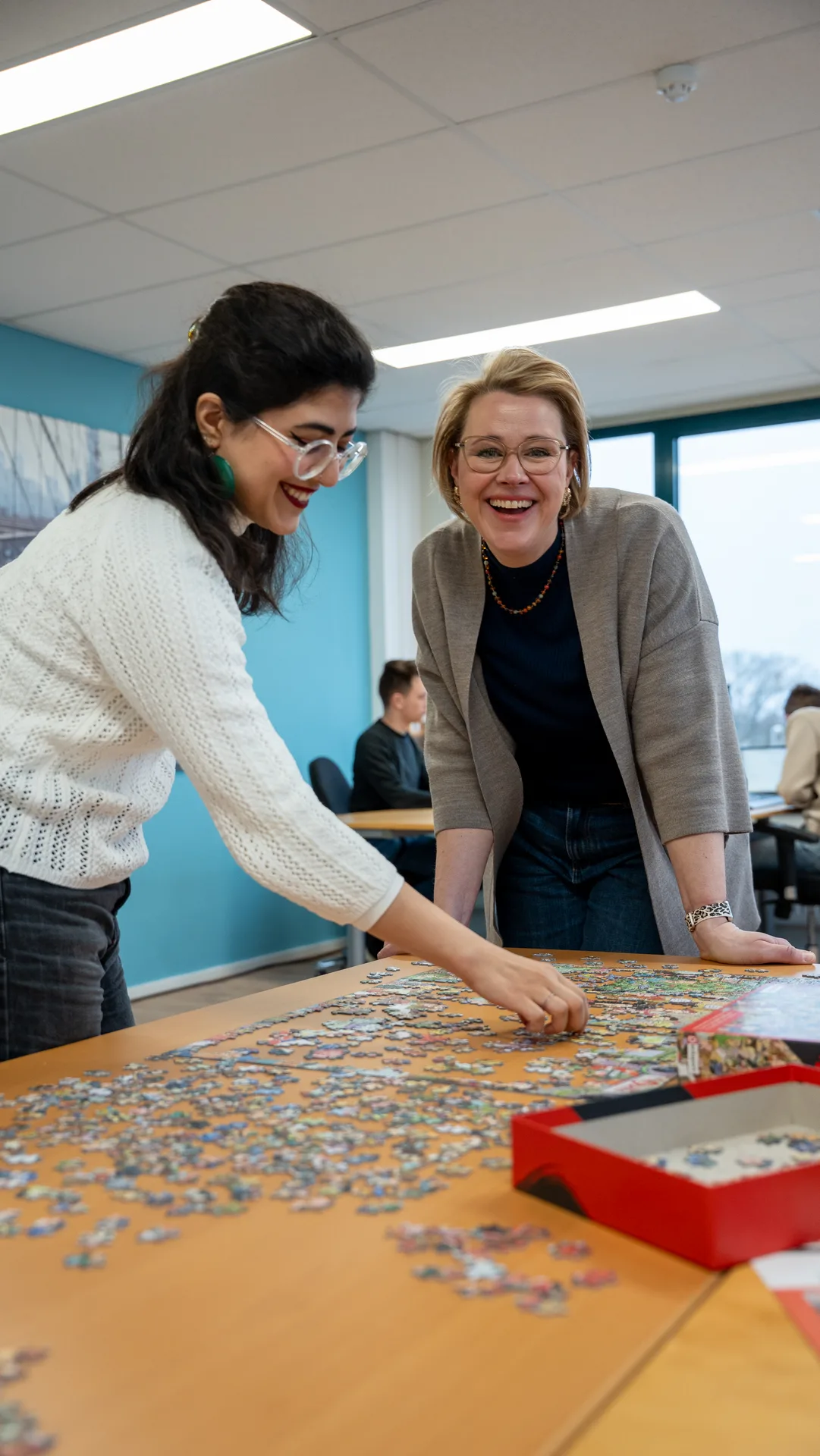
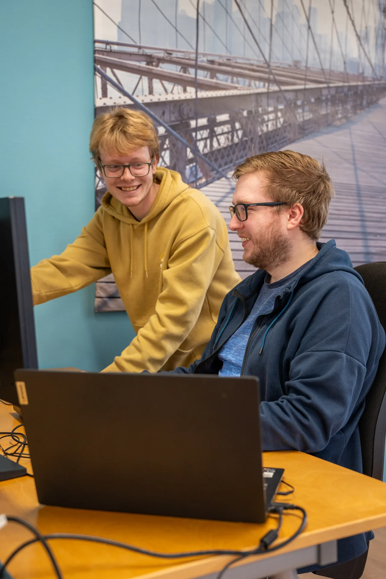
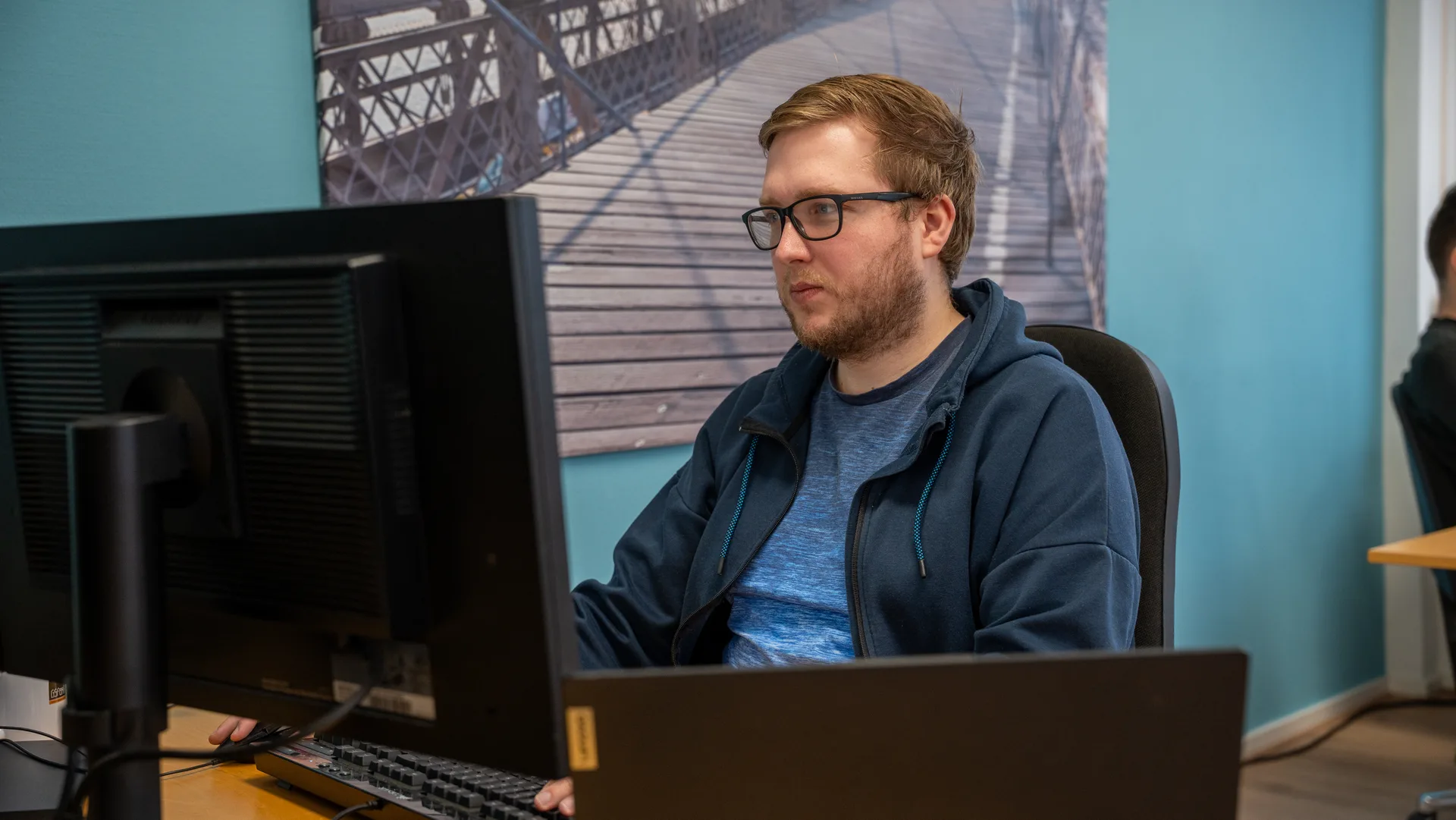
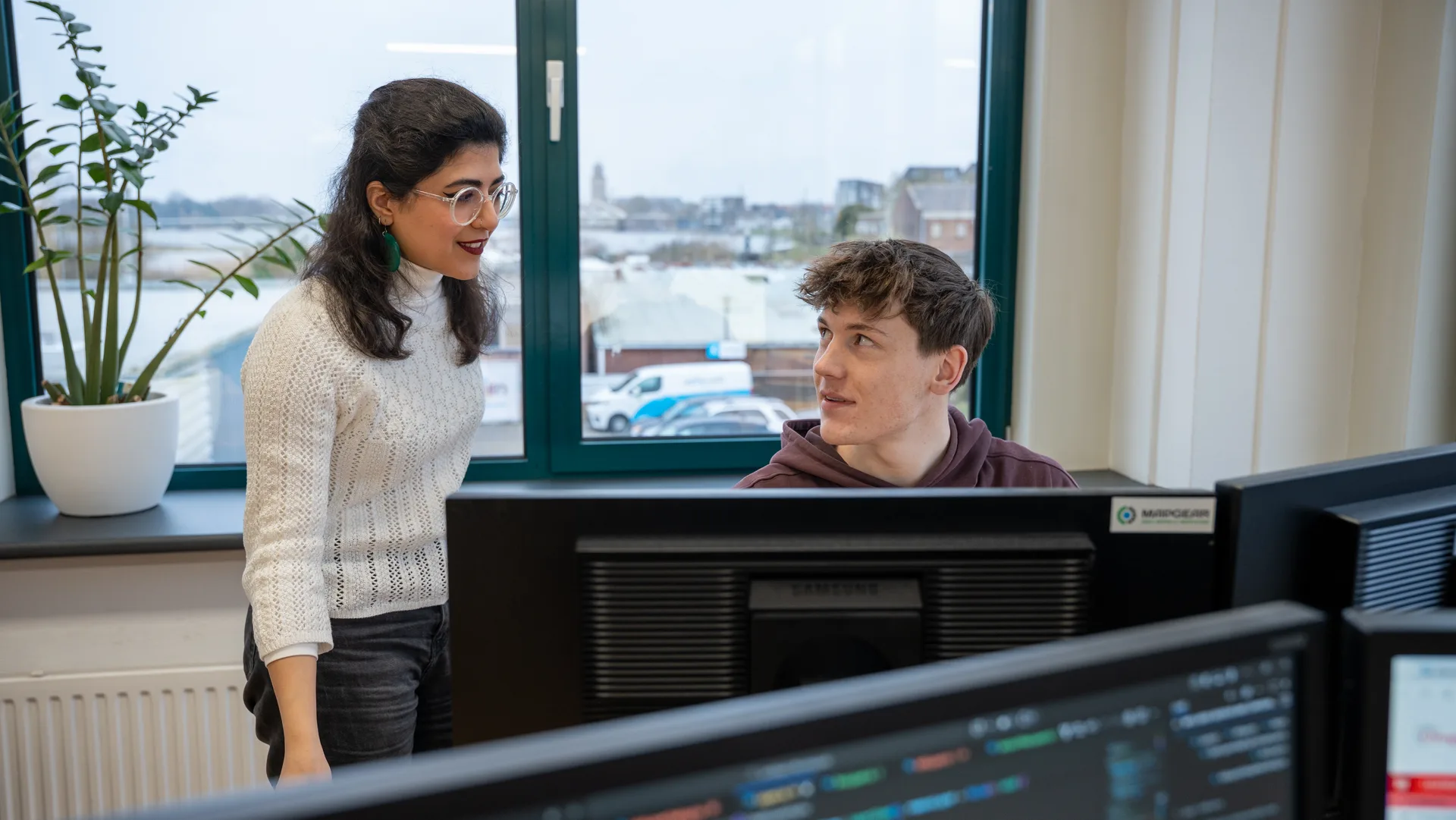
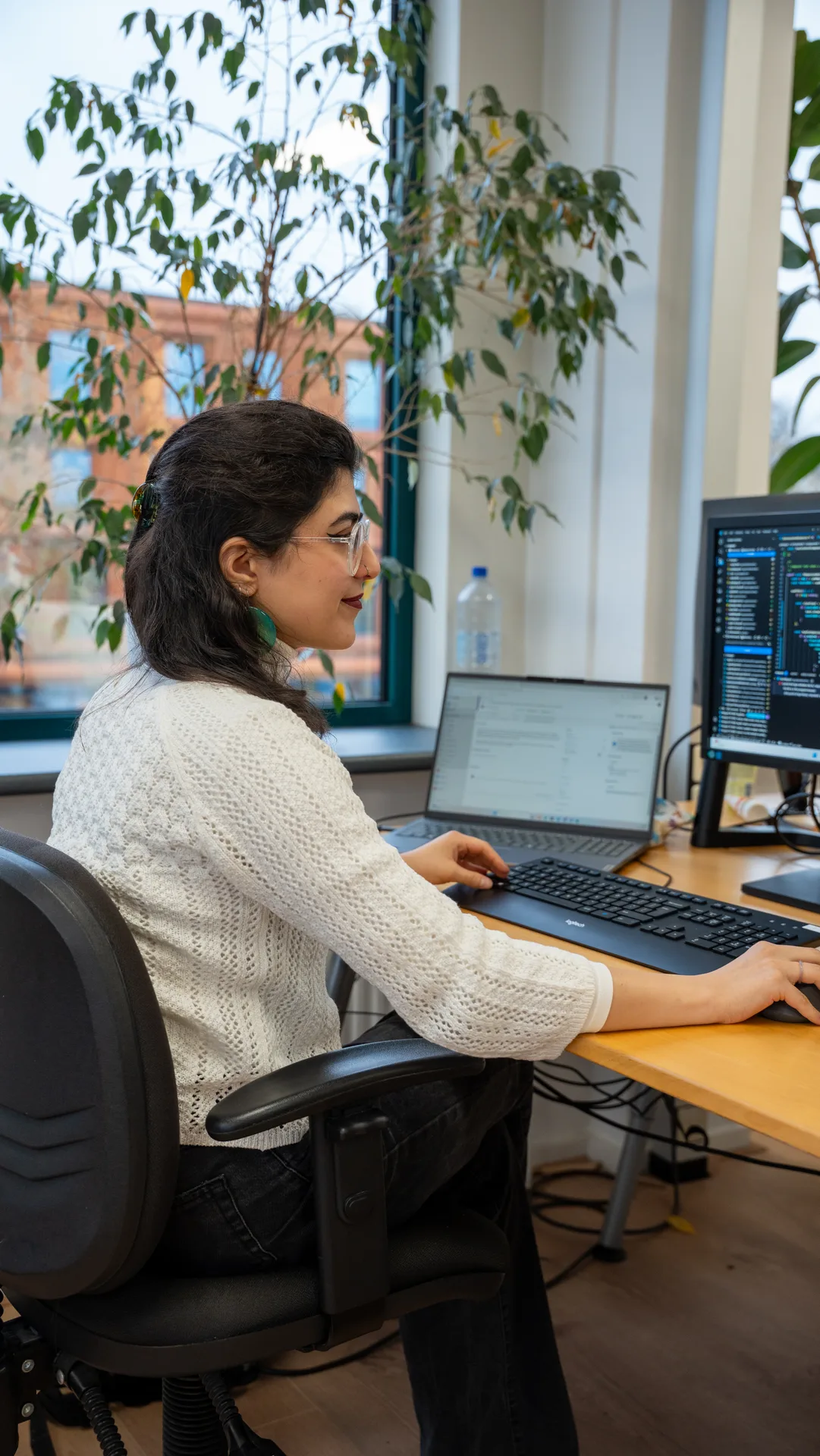
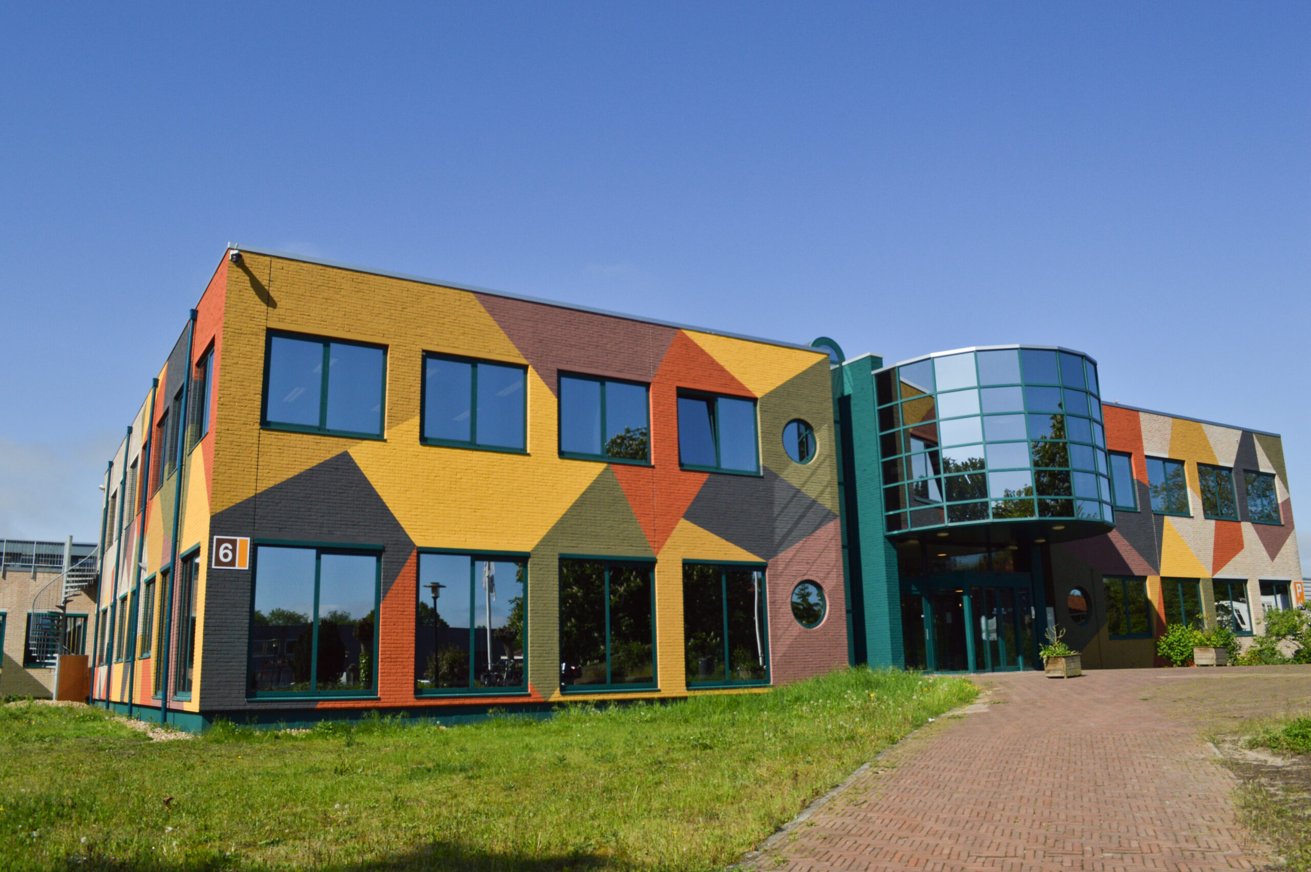
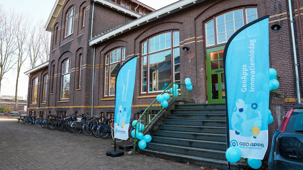
At the Gasfabriek campus in Deventer – an inspiring place for innovation and collaboration.


From a small startup to a trusted platform for spatial solutions - discover the milestones that shaped us
Please accept cookies to play this video

Please accept cookies to play this video
Please accept cookies to play this video
Please accept cookies to play this video

Continual improvement and smart use of new technology
Reliable software and careful execution
We succeed together with customers and partners
Solutions that contribute to a future‑proof environment
At the Gasfabriek campus in Deventer, we work in a modern, open environment where innovation and collaboration are central.
Address
Zutphenseweg 6
7418 AJ Deventer
Netherlands
Office Hours
Monday – Friday: 09:00 – 17:00