GeoApps Logo
Apps
Solutions
Platform
About us
Get adviceLogin
Hero background
  1. Home
  2. Solutions
  3. Engineering Services & Infrastructure

Accelerate and digitize your services with powerful mapping apps

GeoApps supports consultancy and engineering firms in processing, analyzing, and presenting spatial data. From fieldwork to powerful spatial analyses and clear dashboards for clients.

Who uses GeoApps for Engineering & Infrastructure?

Discover how GeoApps helps organizations optimize their operations
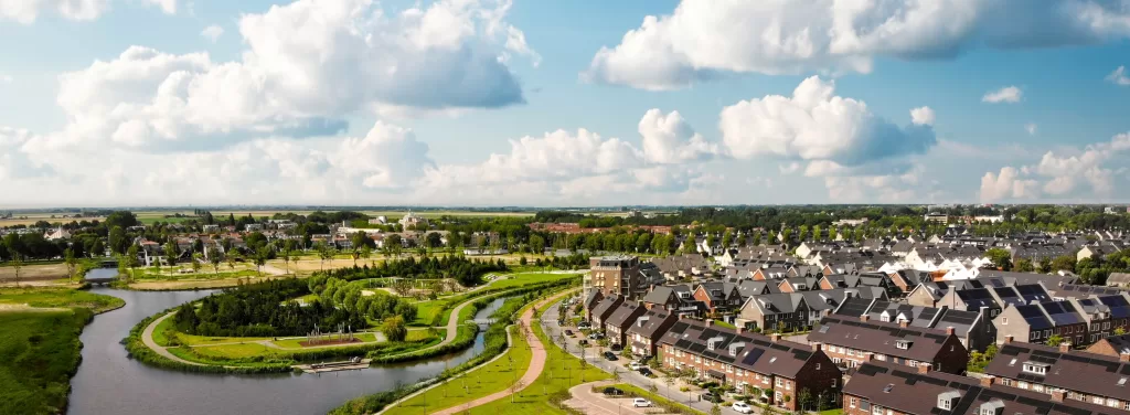
Municipalities

Municipalities

Municipalities

Infrastructure planning and asset management for efficient municipal engineering projects.

GeoApps
Contractors

Contractors

Contractors

Field data collection and project collaboration tools for construction and engineering firms.

GeoApps
Engineering Firms

Engineering Firms

Engineering Firms

Advanced spatial analysis and 3D visualization for comprehensive engineering solutions.

GeoApps
Utilities

Utilities

Utilities

Network mapping and asset tracking for utility infrastructure management.

GeoApps

Trusted by engineering professionals worldwide

  • Tauw
  • Gemeente Rotterdam
  • Enexis
  • Stantec
  • Provincie Overijssel
  • Kragten
  • Gemeente Utrecht
  • Waternet
  • Arcadis
  • Gemeente Enschede
  • ProRail
  • Roelofs
  • Provincie Utrecht
  • Gemeente Hengelo
  • Nouryon
  • Arup
  • Gemeente Apeldoorn
  • Roelofs Lemelerveld
  • Provincie Gelderland
  • Stedin
  • Gemeente Maastricht
  • Dekker Groep
  • Syntraal
  • Gemeente Ede
  • Provincie Noord-Holland
  • Thius
  • Gemeente Epe
  • Wegenscanners
  • Tijdlab
  • Gemeente Gennep
  • Provincie Flevoland
  • Mateboer
  • Gemeente Maasgouw
  • Aveco de Bondt
  • Gemeente Wierden
  • Transitiemakers
  • Riese & Geurts
  • Gemeente Zundert
  • Provincie Groningen
  • OMWB
  • Gemeente Haarlemmermeer
  • Qwello
  • TTE
  • Gemeente Groningen
  • Provincie Drenthe
  • KWR
  • Gemeente Deventer
  • Lycens
  • Gemeente Dordrecht
  • Gemeente Rijswijk
  • Nordend
  • Gemeente Leiden
  • Slagboom & Peeters
  • Gemeente Sittard-Geleen
  • Royal HaskoningDHV
  • Westerkwartier

Deliver Projects Faster with Better Geo Insights

Always the right insight

Access your map data and analyses anytime, anywhere. This allows you to make faster and better-informed decisions within each project.

Better data, better results

GeoApps supports you with current and reliable map information. This prevents misunderstandings and increases the quality of your work.

Collaboration without noise

Everyone works with the same data and insights, within one central environment – from fieldwork to reporting.

From project communication to final product

Combine communication and delivery in a single environment. Set up an online portal where clients and stakeholders can follow progress, and ultimately deliver the final result as a map story, portal, or dashboard in a professional way.

    From project communication to final product

    Get started smartly with 3D and Digital Twin – without being a specialist

    Make 3D and Digital Twin directly applicable in your project. Visualize designs, integrate BIM, and collaborate in 3D – without extra software or specialized knowledge.

      Get started smartly with 3D and Digital Twin – without being a specialist

      From project data to smart dashboards – all in one environment

      Bring field data, project information, and analyses together in clear dashboards. This lets you manage based on facts – in the office and in the field, during and after the project.

        From project data to smart dashboards – all in one environment

        Collaboration and participation per role and phase

        Work together in a structured way by role and project phase. Offer tailored access and tasks, collect feedback on the map, and involve externals via MapTalk when needed.

          Collaboration and participation per role and phase

          What does GeoApps deliver?

          Advanced mapping applications

          3D and Digital Twin

          Quality assurance

          Spatial analysis

          "For quick map publications and thanks to the extensive possibilities for user management and analyses, GeoApps offers us a lot of flexibility – partly thanks to the strong team behind it."
          Christiaan Jolly, Product Manager, Stantec
          MapGear

          Partner Spotlight: MapGear

          MapGear, our parent company, provides expert GIS consulting and development services. From building GIS departments to custom applications, they optimize workflows around GeoApps, QGIS, and your existing GIS infrastructure.

          Explore Engineering Solutions
          Partner Spotlight: MapGear

          Please accept cookies to play this video

          Related Apps

          Discover our apps that perfectly complement this solution

          Viewer

          Viewer

          Interactive map viewer for spatial data

          Fieldwork

          Fieldwork

          Mobile app for field data collection

          Dashboard

          Dashboard

          Data visualization and analysis dashboard

          MapTour

          MapTour

          Interactive map tours and storytelling

          Choose GeoApps as the central GIS platform for your organization

          Discover in a personal consultation how GeoApps can strengthen your GIS environment. Benefit from a flexible, affordable solution that makes your projects and processes more efficient.

          Contact Us
          GeoApps Viewer
          Gasfabriek project
          MapGear team office

          GIS/GEO for Engineering & Infrastructure - Frequently Asked Questions

          Answers about data, collaboration and implementation for engineering workflows.

          Which data sources can we connect?
          Connect PDOK, BAG, BGT, Kadaster and your own PostGIS/ArcGIS endpoints. Import plans, drawings and scenarios; publish selected layers securely.
          How does 3D integration work?
          Yes. Use 3D models for sight lines, volumetrics and scenario comparison. Share web viewers for quick validation. GeoApps integrates with 3D engines that support BIM files.
          Can we collaborate with desktop GIS software?
          Yes. GeoApps connects well with existing workflows. Data is effortlessly exchanged with desktop GIS solutions, such as QGIS and ArcGIS – without conversion hassle.
          What does onboarding include?
          Setup, data ingest, roles/permissions, training and handover. Typical onboarding is 2–4 weeks depending on scope. Sometimes we run a pilot for a quarter with organizations moving from old GIS stacks, or who are starting to use WebGIS for the first time.
          Do you support custom development?
          Yes. We provide integrations and features on retainer or per project, with roadmap alignment and SLAs.
          How does pricing work?
          We price via subscriptions, plus an onboarding fee and optional development fees if needed. We aim to be flexible. For details, see our subscriptions page.
          GeoApps Logo

          GeoApps is the leading software platform for GIS applications and spatial data, enabling organizations to make data-driven decisions.

          Solutions

          • Urban Planning
          • Infrastructure
          • Real Estate
          • Environment & Climate
          • Energy Transition
          • Safety & Risk

          Products

          • GeoApps
          • Solutions
          • Sustainability Map
          • MapServices
          • TouchTable
          • Consultation

          Apps

          • Viewer
          • Dashboard
          • Fieldwork
          • MapTour
          • MapTalk
          • Custom

          For whom?

          • Municipalities
          • Provinces
          • Environmental Services
          • Engineering
          • Contractors
          • Safety Regions

          Platform

          • Integrations
          • Documentation
          • System Status
          • Changelog
          • Support
          • Subscriptions

          Company

          • About Us
          • Careers
          • Contact
          • Partners
          • News & Blog
          • Events

          Stay up-to-date

          Subscribe to our newsletter to get the latest updates on our products and services. You can unsubscribe at any time.

          Keep an eye on our socials too

          Stay connected with us through our social media channels and get the latest updates on our products and services.

          Quality & trust

          MapGear is ISO 9001 and ISO 27001 certified and meets the highest quality and security standards for our products and services.

          ISO 9001 Certificering
          ISO 27001 Certificering
          QGIS Membership 2026

          © 2026 GeoApps, a product of MapGear B.V.

          Privacy PolicyTerms of Service