
Could your aerial imagery hosting use an upgrade?
Many municipalities and provinces still run aerial and street-level imagery on servers that were set up as part of a tender for imagery or a map viewer. What once made sense is now harder to maintain: data volumes grow, user numbers rise, and performance expectations increase. Hardware and software more than 10 years old is no longer the right approach.
Why renew?
One central platform for your aerial and street imagery: no more scattered servers, no licence or update hassle.
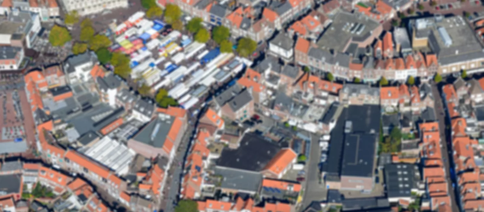
Aerial imagery & orthophotos
ECW, GeoTIFF and other formats. We host, optimize and publish directly in your viewer at a fair price. Always up to date and scalable.
Street imagery integration
Connect street-level imagery (e.g. Cyclomedia, Street View) in the same viewer. One environment for maps, aerial and street-level views.
From setup to management
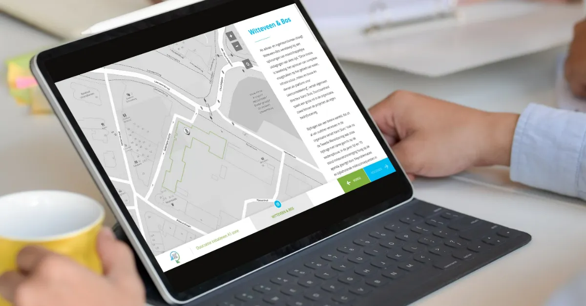
We handle setup and maintenance. You supply data or we collect it; your team works directly in GeoApps and QGIS.
Why renew your setup?
Old setups with separate servers, your own tile stacks or outdated viewers cost time and money. With GeoApps you host everything in the cloud: aerial and orthophotos become map layers immediately, street imagery connects easily. One platform, one place to manage, always up to date.
Cloud instead of on‑premise
No managing your own servers, no arranging backups or updates. Your data lives in a Dutch datacentre in Groningen, secure and meeting high standards for availability and privacy. You pay for use, not for hardware.
Open standards and integrations
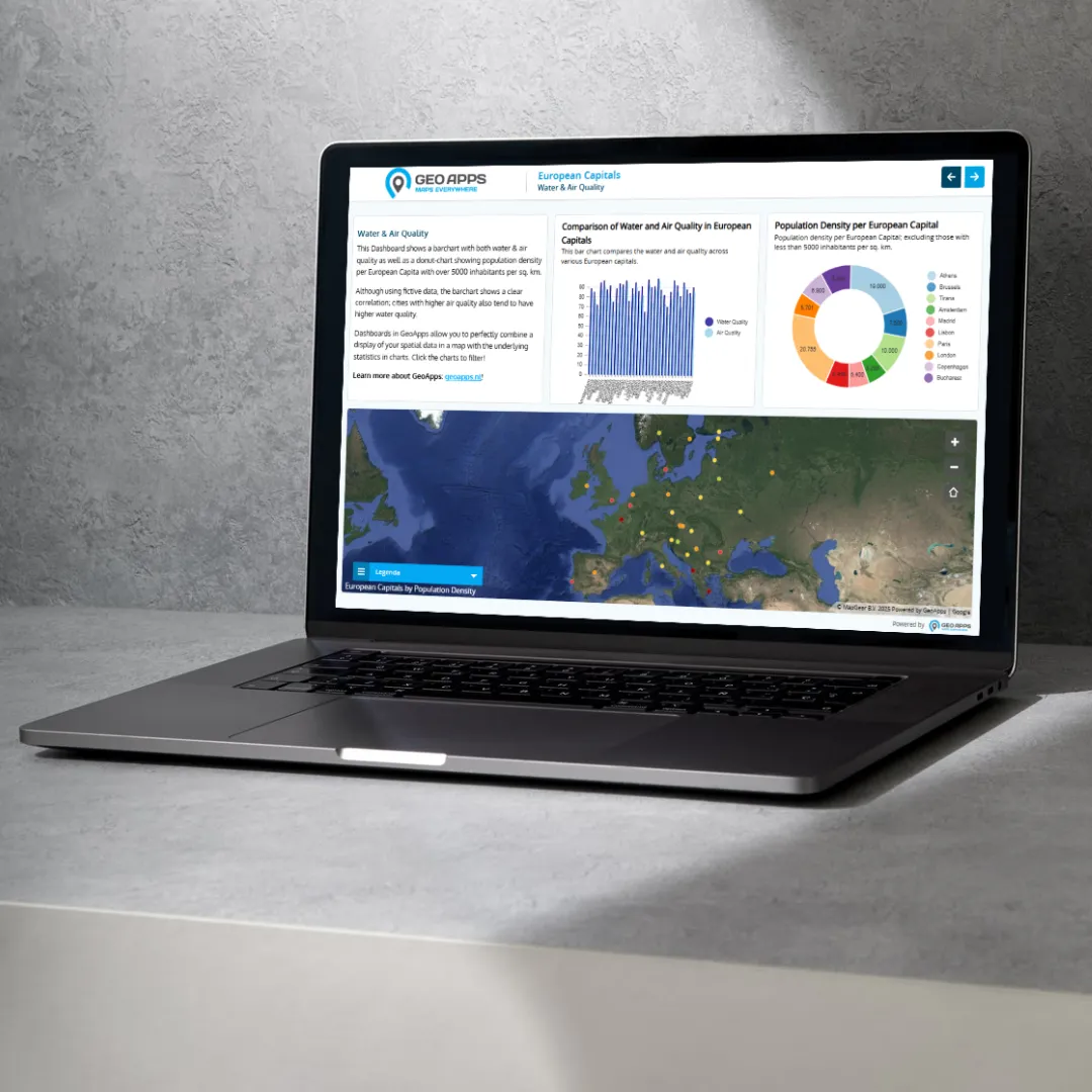
WMS, WMTS, WFS where relevant. No vendor lock-in. Connect QGIS, GeoApps Viewer, MapTour and your own apps. Street and aerial imagery in one map.
Performance
Our service is built for high performance and intensive use. Smart caching and an optimised cloud architecture keep viewers and services fast and stable, even with large datasets and many concurrent users. Vendor independence is a key principle: imagery is delivered via open standards and works with all common GIS viewers.
A logical alternative to reinvesting
At the point of replacement, we offer an attractive alternative. Instead of reinvesting in your own image server, municipalities and provinces can switch to a fully managed SaaS service for hosting and publishing imagery and map data. That removes the need for your own hardware, complex server setups and licences. You get a fixed annual subscription price, with no surprise replacement or depreciation costs. Infrastructure scales automatically with growing data and usage, turning an unavoidable investment into lasting savings and a future-proof solution.
Want to see how it works?
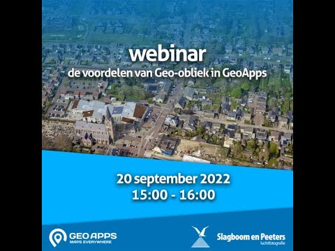
Watch the recording of our webinar at Slagboom & Peeters' hangar: how Slagboom & Peeters' aerial photographers publish their oblique imagery (first 20 minutes), and how GeoApps integrates such aerial, street-level and oblique imagery and adds extra functionality in an extended viewer (last 20 minutes).
Watch the recordingReady to renew your aerial and street imagery?
Get in touch or view our subscriptions.


