Stronger Nature and More Biodiversity
That’s what the entire province of Overijssel benefits from. Ecological consultancy EcoGroen worked with Procap and Witteveen+Bos to research which natural areas within the Nature Network Netherlands contribute most to biodiversity.
Through the online participation tool PraatMee, EcoGroen collected 309 responses from stakeholders who shared ideas and insights about their regions. What did they learn, and what does this mean for policymakers?
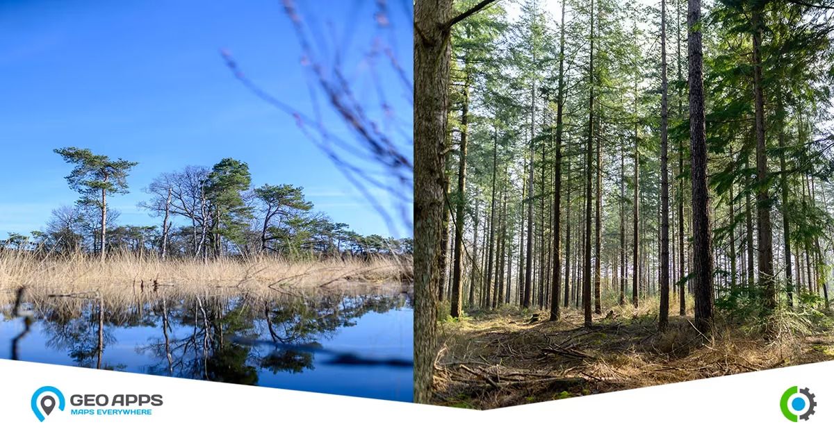
🌿 How Do You Create Robust Nature?
From wet grasslands to oak forests, strong nature thrives through connected ecosystems and diverse management types. This strengthens the landscape and supports countless mammals and insects across the province.
Maartje Scholten, Project Leader Ecology at EcoGroen, and her team analyzed the potential for nature development on hundreds of parcels across estates, meadows, and forests within the Nature Network Netherlands.
“Nature doesn’t like fragmentation,” says Maartje. “By connecting isolated areas, we help biodiversity flourish again.”
By making natural connections and guiding landowners through subsidies, EcoGroen advises how to strengthen nature, for instance by restoring flowery meadows or developing natural forests that provide habitats for birds and other species.
🗺️ Ambition Map as Input for Subsidies & Policy
Many areas within the Nature Network Netherlands in Overijssel border Natura 2000 zones. These parcels are managed by organizations such as Staatsbosbeheer, Landschap Overijssel, or Natuurmonumenten, or by private owners.
“Because nature management differs across owners and funding structures, fragmentation often occurs,” explains Maartje.
To solve this, EcoGroen created the Ambition Map with the help of GeoApps, part of the Nature Management Plan Overijssel. This digital map helps policymakers directly view ecological advice per parcel and determine suitable subsidies efficiently.
🧭 Multiple Mapping Tools Across Project Phases
During the project for the Province of Overijssel, EcoGroen used several GeoApps tools depending on project needs:
Opportunity Map | PraatMee
Allowed landowners to share ideas, knowledge, and initiatives directly on the map. Over 280 responses were submitted, making stakeholder engagement easier and more inclusive.Ambition Map | PraatMee
Offered an overview of all NNN parcels, divided into 29 subregions. Ecological advisors used elevation data and historical maps to identify suitable natural types for each parcel.Informative Websites | MapTour
Each subregion received a user-friendly web page built with MapTour, combining maps, photos, and explanatory texts to visualize ambitions and opportunities.
🤝 100% Stakeholder Management
The GeoApps solutions proved highly effective for EcoGroen.
“With online maps, stakeholders react to locations instead of just images. That parcel-level detail was essential for us,” says Maartje.
“The province’s project leaders appreciated the transparent, open way of sharing and collecting information. We’d definitely use GeoApps tools again for large-scale stakeholder collaboration.”
💡 Improving the Mapping Software
EcoGroen also provided valuable feedback for future development.
“The Opportunity Map contained a lot of background layers like water and forest maps. We wanted to include extended legends, but that wasn’t easy yet,” explains Maartje.
Egbert Griffioen, Project Manager at MapGear, adds:
“PraatMee is still evolving. We’re integrating EcoGroen’s feedback into the next version to simplify map setup and usability.”
A new release of the PraatMee software later this year will include many of these improvements, making ecological mapping even more efficient and user-friendly.